

Key Takeaways
What You Need Before You Start
Driving California's Highway 1 — the iconic stretch of Route 1 known informally as the Pacific Coast Highway — rewards preparation. Before you leave, confirm your vehicle is road-ready: tires, brakes, and fluids all matter more on a route with steep grades and winding cliff-edge curves. See our thoughts on smooth driving technique if you want to sharpen your skills before tackling Big Sur's switchbacks.
Download offline maps. Cell service drops out frequently between Morro Bay and Carmel. Also bookmark Caltrans' road conditions page and check it the morning of each driving day — landslides and rockfall periodically close sections of Highway 1, sometimes for weeks.
What you will need
Caltrans QuickMap (quickmap.dot.ca.gov)
Check real-time road closures, incidents, and construction along Highway 1 before each day's drive.
Offline map app (Google Maps, Maps.me, or similar)
Navigate the Big Sur corridor and other low-signal zones without relying on cell service.
National Park / State Park day-use passes
Required for entry at several PCH-adjacent parks, including Point Lobos and Julia Pfeiffer Burns State Park.
Portable phone charger / power bank
Keep devices charged during long stretches between towns where outlets aren't available.
Cooler with snacks and water
Reduce reliance on the scarce and often expensive food options along the Big Sur corridor.
Planning Your Route and Pacing
Most travelers drive northbound from Los Angeles or southbound from San Francisco. Southbound is generally preferred because it keeps you on the ocean-side lane — meaning your passengers get unobstructed views and you're not leaning toward a cliff edge on curves. Either direction works; it's a matter of logistics and starting city.
A realistic pacing breakdown for a 3-to-5-day trip looks something like this:
- Day 1 — LA to Morro Bay (~200 miles): Stop in Santa Barbara for lunch and a stroll down State Street. Continue through San Luis Obispo if time allows.
- Day 2 — Morro Bay to Big Sur (~85 miles): This short distance takes a full day. Moonstone Beach, Hearst Castle (worth a detour inland), and the elephant seal rookery at Piedras Blancas all compete for your time.
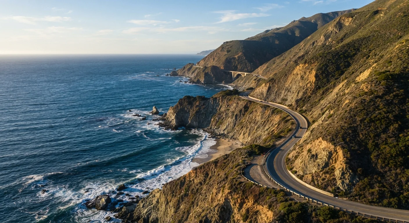
- Day 3 — Big Sur (~30-mile corridor): McWay Falls, Pfeiffer Beach, and Bixby Creek Bridge are the anchors. This stretch rarely moves faster than 30–35 mph and you'll stop constantly — plan for it.
- Day 4 — Big Sur to Carmel/Monterey (~30 miles): Arrive in Carmel-by-the-Sea for the afternoon. Point Lobos State Natural Reserve is a short drive south and one of California's most rewarding coastal hikes.
- Day 5 — Monterey to San Francisco (~120 miles): Santa Cruz Boardwalk, Half Moon Bay's coastal bluffs, and Pacifica round out the northern leg before the city skyline appears.
If your schedule is tighter than five days, building a flexible itinerary can help you prioritize stops without turning every morning into a logistics sprint.
Midweek Driving Makes a Real Difference
If your schedule allows, plan your Big Sur drive on a Tuesday, Wednesday, or Thursday. Weekend traffic can slow the corridor to a crawl, and popular pullouts fill by mid-morning. Arriving midweek dramatically improves your chances of finding parking and enjoying viewpoints without crowds.
Seasonal Conditions and What to Watch For
The PCH is drivable year-round, but conditions vary meaningfully by season:
- Spring (March–May): Wildflowers along the coastal bluffs, relatively light traffic midweek, occasional morning fog that burns off by midday. Generally the most photogenic season.
- Summer (June–August): Peak crowds, especially on weekends. Expect slow traffic near Big Sur and limited parking at popular overlooks. Coastal fog — called the "marine layer" — can hang until noon or later.
- Fall (September–November): Arguably the most comfortable driving season. Fog clears earlier, temperatures are mild, and weekday crowds thin out considerably after Labor Day.
- Winter (December–February): The fewest tourists but the highest risk of road closures due to storms, erosion, and landslides. Always check Caltrans before departing.
On the fuel front: the Big Sur stretch has almost no services. Fill your tank in Cambria before heading north, and again in Carmel when you emerge. Driving efficiently through the winding terrain matters — our overview of how highway and stop-and-go driving affect fuel use is worth a read before you go. And while cruise control is tempting on long stretches, hilly terrain changes the calculus — PCH's constant grade changes mean you'll want manual control through most of Big Sur.
Landslide Closures Can Happen Without Warning
Sections of Highway 1 — particularly in Big Sur — have closed for months or even years following major storm seasons or geological events. Always check Caltrans before departing and have a US-101 inland detour mapped as a backup. Do not rely solely on real-time navigation apps, as closures can be more recent than map data reflects.